Contents
Thorong La Pass is the highest point of the Annapurna Circuit Trek at 5,416 meters (17,769 feet). It connects the green, high-valley Manang region on the east with the dry, wind-carved Mustang region on the west, and crossing it is the single biggest day of the entire circuit. The difficulty here comes from altitude, cold, a steep pre-dawn climb, and a long knee-punishing descent rather than any technical rock or ice climbing.
If you are asking whether Thorong La is difficult, here is the honest answer from our team of local coordinators: yes, it is demanding, but it is achievable for a fit, patient, well-acclimatized trekker who starts early and respects the mountain. No ropes, no crampons in normal conditions, just a long, cold walk uphill in thin air.
What Is Thorong La Pass?
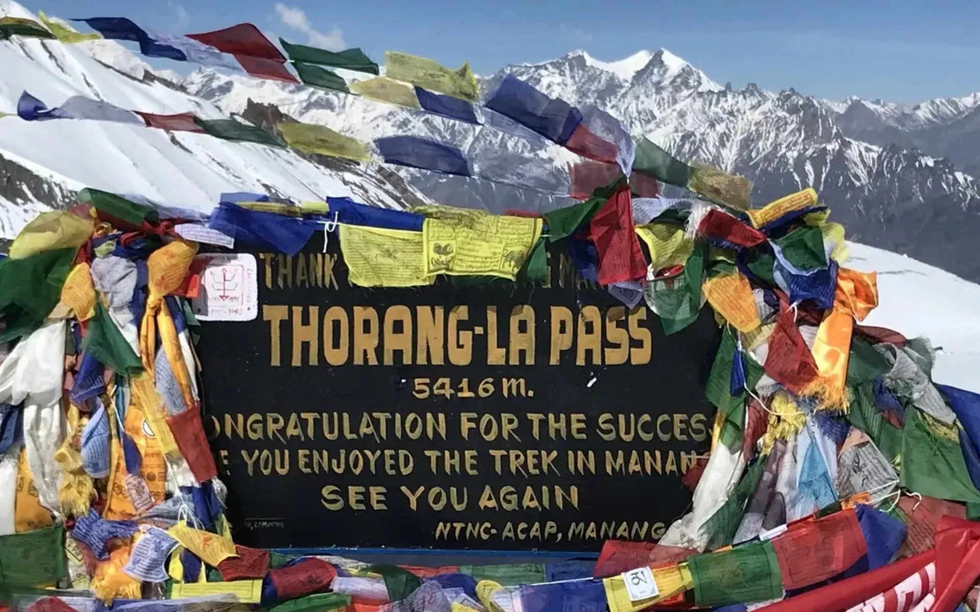
Thorong La Pass is a high mountain saddle in the Annapurna region that trekkers use to cross the main Himalayan divide. It links Manang to Muktinath and Mustang, and it is the climactic section of the Annapurna Circuit. A "la" simply means "pass" in Tibetan-influenced languages, referring to the lowest gap over a high ridge.
A mountain pass is the natural low point between two peaks that lets travelers cross a range without summiting a mountain. For centuries this route carried salt traders, pilgrims, and herders between the Manang valley and the Kali Gandaki side. Today it is the reason many trekkers walk the full circuit in the first place.
The pass matters because it is the geographic and emotional high point of the trek. Reaching the prayer flags at the top is the moment most trekkers remember for years, and it marks the dramatic shift from Manang's alpine meadows to Mustang's stark, desert-like plateau.
Where Is Thorong La Pass Located?
Thorong La lies between the Manang district and the Mustang district in north-central Nepal. Trekkers approach from the Manang side, climbing through Yak Kharka and Ledar to reach Thorong Phedi (~4,450m) or Thorong High Camp (~4,850m). From there the trail climbs to the pass at 5,416 meters, then drops steeply down the Mustang side toward Muktinath.
The classic crossing sequence is straightforward: Manang, then Yak Kharka, then Ledar, then Thorong Phedi or High Camp, then over Thorong La, and finally down to Muktinath at around 3,800 meters. That long descent into the Kali Gandaki valley closes the highest and most exposed part of the circuit.
How High Is Thorong La Pass?
Thorong La Pass stands at exactly 5,416 meters (17,769 feet). To put that in perspective, it is higher than Annapurna Base Camp and higher than many of Nepal's well-known viewpoints. At this elevation there is roughly half the oxygen available compared to sea level, which is why pacing and acclimatization matter far more than raw fitness.
Location | Elevation |
Manang | ~3,540 m |
Thorong Phedi | ~4,450 m |
Thorong High Camp | ~4,850 m |
Thorong La Pass | 5,416 m |
Annapurna Base Camp | ~4,130 m |
Seeing these numbers side by side makes the challenge clear. You gain nearly 2,000 meters from Manang before you even reach the top, and every step above 4,000 meters asks more of your lungs.
How Difficult Is Thorong La Pass?
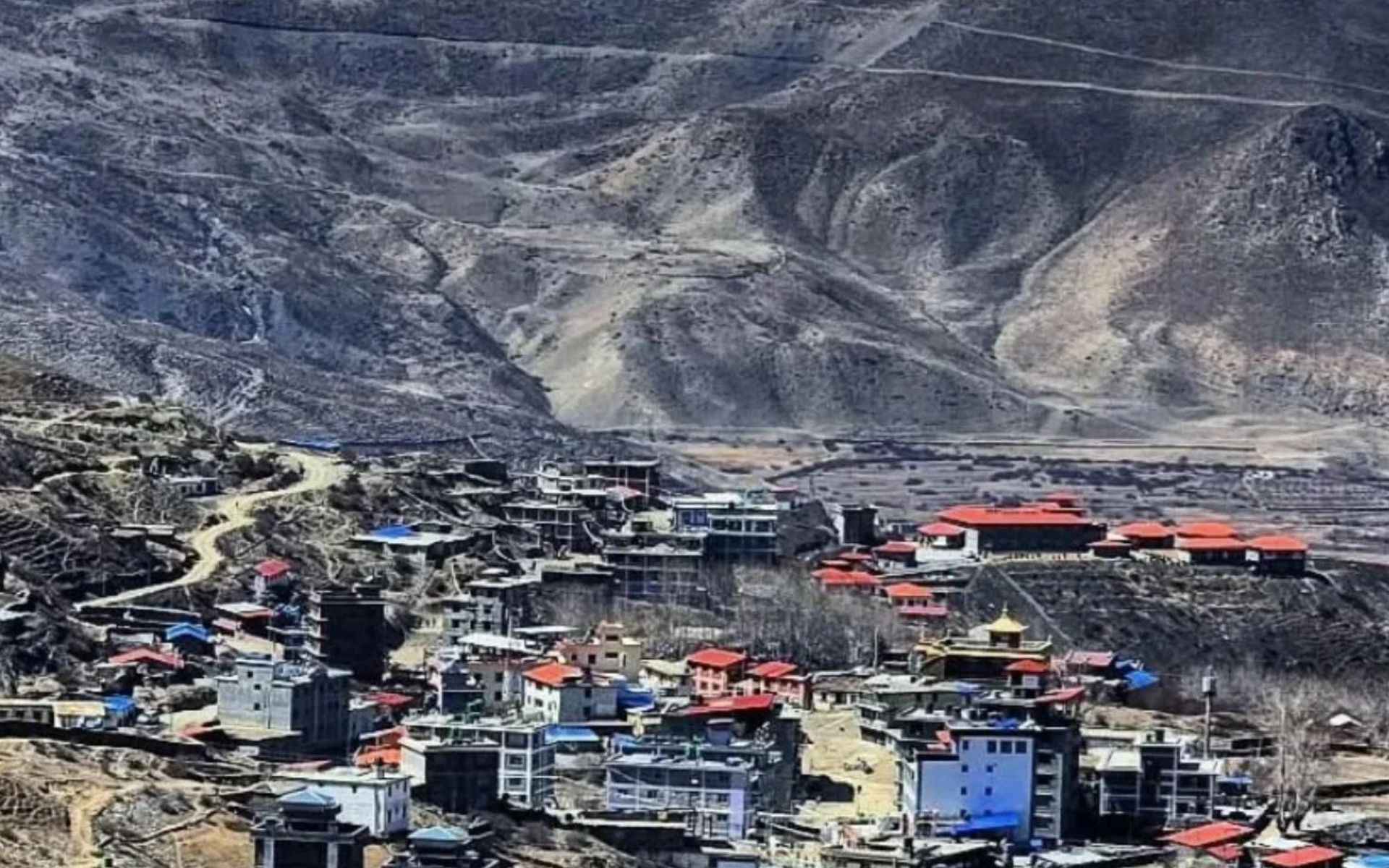
Thorong La is difficult because of four combined factors: high altitude, a very long trekking day, a steep sustained ascent, and a punishing descent. It is not a technical climb, so you do not need mountaineering experience, but you do need endurance, patience, and proper acclimatization to cross it safely.
High Altitude
At 5,416 meters the air is thin, and your body simply cannot perform the way it does lower down. Expect to breathe hard even on gentle slopes, and expect your pace to slow dramatically. Altitude sickness is a genuine risk here, which is why the days before the pass are built around gradual acclimatization.
Long Trekking Day
Crossing day is far longer than a typical circuit day. From Thorong Phedi you may be walking for 7 to 9 hours including the climb and the long descent to Muktinath. Starting before dawn is standard practice, both to reach the pass before the wind picks up and to leave enough daylight for the descent.
Steep Ascent
The climb from Thorong Phedi to High Camp is steep and relentless, gaining around 400 meters in a short distance. Above High Camp the gradient eases into a series of false summits that test your patience. Each time you think the top is close, another rise appears, and in thin air this wears on you mentally as much as physically.
Long Descent
The challenge does not end at the top. The descent from 5,416 meters down to Muktinath drops roughly 1,600 meters over loose, rocky, often dusty trail. This section is hard on knees and quads, and many trekkers find the descent more exhausting than the climb. Trekking poles genuinely help here.
Our verdict: Thorong La is a serious high-altitude challenge, but it is a walk, not a climb. Prepare well and it becomes one of the most rewarding days you will ever spend in the mountains. For a wider view of what the route demands, read our Annapurna Circuit difficulty guide.
How Long Does It Take to Cross Thorong La Pass?
Most trekkers cross Thorong La in a single long day from Thorong Phedi or High Camp to Muktinath, typically taking 7 to 9 hours of walking. From High Camp the ascent to the pass takes around 3 to 4 hours, and the descent to Muktinath takes another 3 to 4 hours.
The standard day runs Thorong Phedi to Thorong La Pass to Muktinath. Trekkers usually leave between 4:00 and 5:00 AM, reaching the top mid-morning when winds are still manageable. You will spend maybe 20 to 30 minutes at the pass for photos and a quick rest before the cold pushes you down.
Times vary widely based on fitness, altitude response, weather, trail conditions, whether you start from Phedi or High Camp, and your group's pace. Do not compare yourself to others on this day. A slow, steady rhythm gets everyone over the pass.
Thorong Phedi vs Thorong High Camp
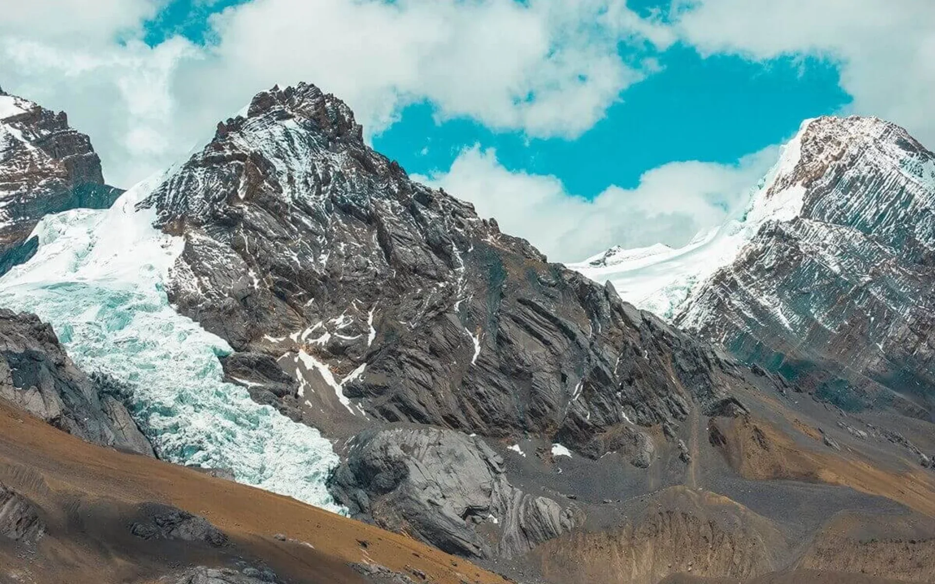
Both are staging points for the pass, but they represent a trade-off between acclimatization and summit-day length. Thorong Phedi sits at ~4,450m for a safer sleeping altitude, while High Camp at ~4,850m shortens the climb but exposes you to more altitude overnight.
Staying at Thorong Phedi
The advantages of Phedi are a lower sleeping altitude, better acclimatization, and a more conservative approach that many experienced guides prefer. The main drawback is a longer crossing day, since you must climb the steep section to High Camp first thing in the morning.
Staying at Thorong High Camp
High Camp shortens your summit day by getting the steepest climb out of the way the afternoon before. The cost is sleeping at ~4,850m, which is a big overnight jump and can worsen sleep quality and altitude symptoms for some trekkers.
Which should you choose? There is no automatic "better" option. If you are acclimatizing well and feeling strong, High Camp can make crossing day easier. If you have any headache, poor sleep, or doubt, sleeping lower at Phedi is the safer call. Let how your body feels above 4,000 meters decide, not a fixed plan.
What Is the Best Time to Cross Thorong La Pass?
The two best seasons to cross Thorong La are spring (March to May) and autumn (September to November), when the pass is usually open, skies are clearer, and temperatures are more manageable. Winter and monsoon both bring serious complications.
Spring — March to May
Spring brings warming temperatures, generally stable weather, and rhododendron blooms lower on the trail. Trail conditions are good, visibility is strong on clear mornings, and the pass is normally open. This is one of the most reliable windows for a comfortable crossing.
Autumn — September to November
Autumn offers the most settled skies of the year, crisp mountain views, and dry trails after the monsoon. It is also the busiest season, so expect fuller teahouses at Phedi and High Camp and more people on the trail on crossing day. Book beds early during peak weeks.
Winter — December to February
Winter means deep cold, heavy snow, and a real risk of the pass being closed or dangerous after snowfall. Some trekkers still cross in early winter with good conditions, but you must be flexible and prepared to turn back. Sudden snow can block Thorong La for days.
Monsoon — June to August
The monsoon brings rain, slippery trails, leeches, and unstable weather on the lower and middle sections. However, the very top around the pass sits in a partial rain shadow. If you want reliable dry summer trekking in Nepal, Upper Mustang and Upper Dolpo lie fully in the Himalayan rain shadow and stay dry through June to August, unlike most of the country.
Our recommendation: aim for late spring or October for the best balance of open trails, clear views, and manageable cold on Thorong La.
8-Day Ghorepani Poon Hill Trek Package – Cost, Itinerary & Guide
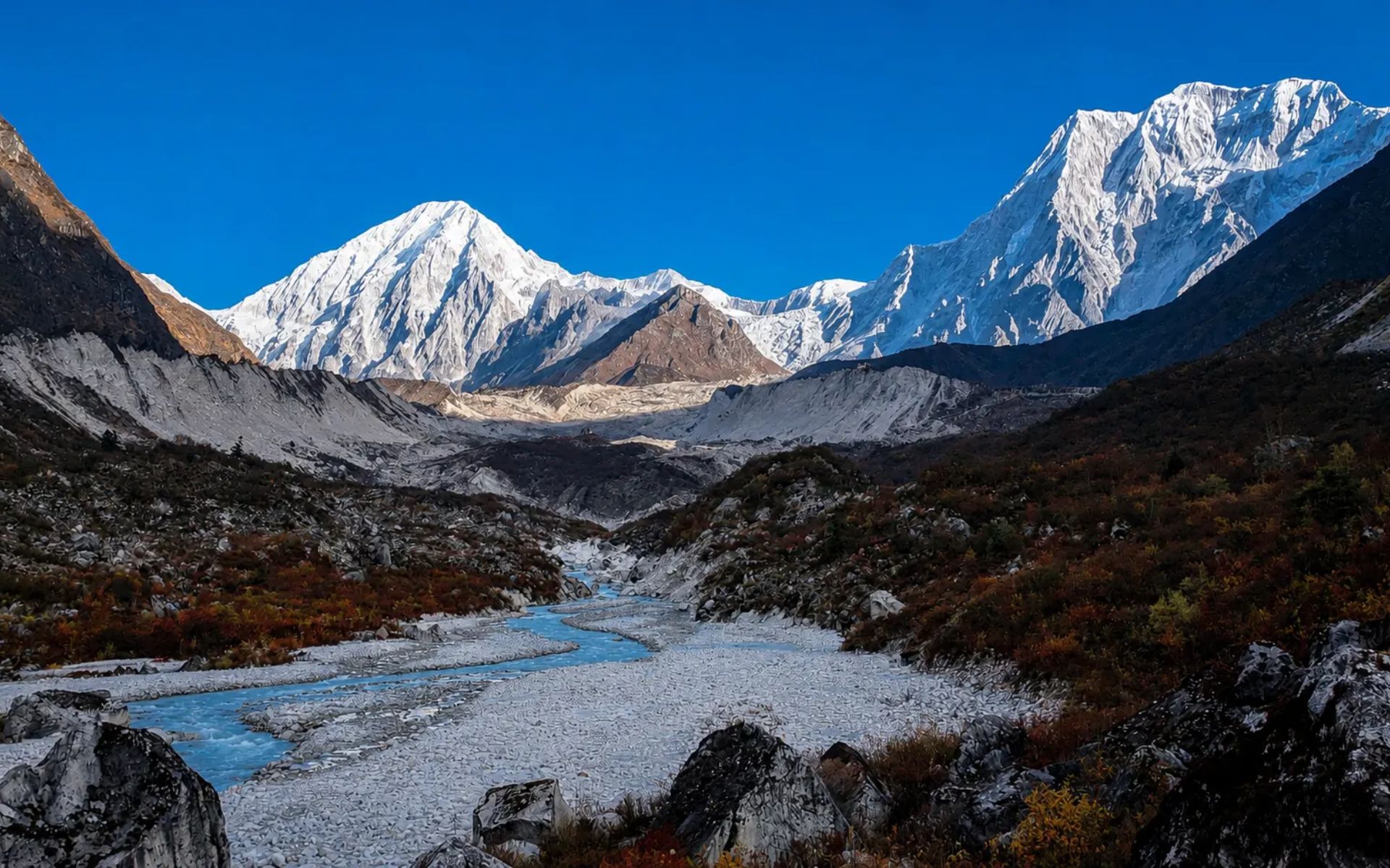
Manaslu Circuit Trek Packages – Cost, Permit & 12, 14 or 16 Day Options
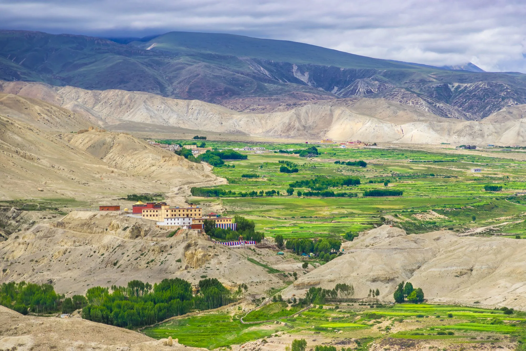
Upper Mustang Trek Packages – Cost, Permit & 14 or 16 Day Options
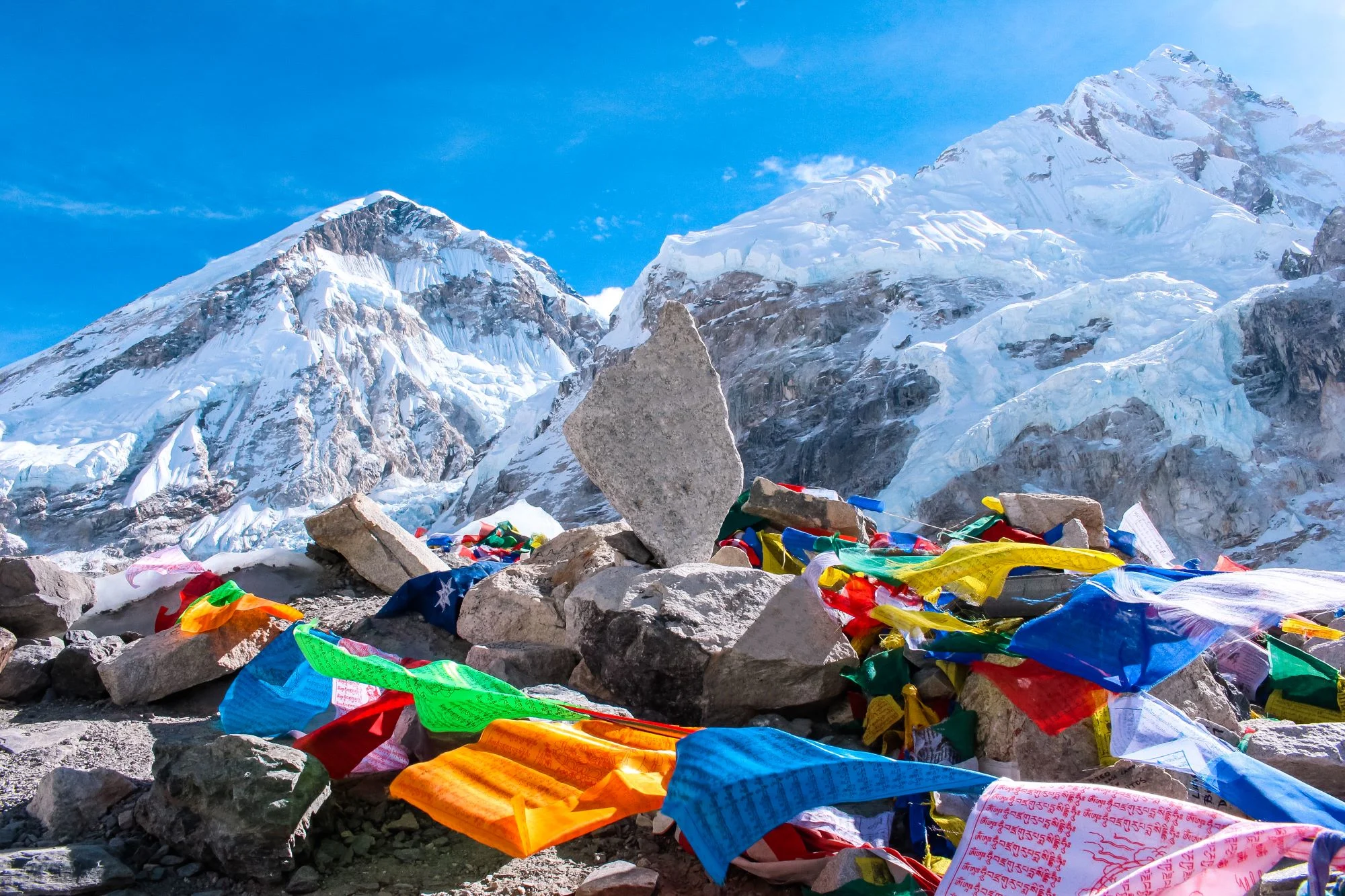
Everest Base Camp Trek Packages – Cost, Itinerary & 12, 14 & 16 Day Options
What Is Thorong La Pass Weather Like?
Thorong La weather is cold, windy, and unpredictable. Even in peak season, pre-dawn temperatures at High Camp can sit well below freezing, and wind chill at the pass can feel far colder. Snow can fall in any season, and clear mornings often turn cloudy and windy by midday.
Expect strong, gusting winds near the top, thin dry air, and intense sun once the clouds clear. Visibility is usually best in the early morning, which is another reason for the dawn start. Weather can change within an hour up high, so carry layers even on a bright day.
One critical point our coordinators repeat often: never judge conditions at the pass by the weather in Manang or Muktinath. It can be calm and mild in the valley while the pass is buried in wind-driven snow. Ask lodge owners and guides about current conditions before you commit to crossing.
What Should You Expect on the Thorong La Pass Crossing Day?
Crossing day is a long, cold, unforgettable effort that starts in the dark and ends far below in Muktinath. Expect a pre-dawn start, a slow steady climb through thin air, a triumphant few minutes at the prayer-flag-covered pass, and then a long descent into a new world.
Before sunrise: You wake around 3:30 to 4:00 AM, force down some warm porridge and tea, and layer up in the cold teahouse. Headlamps go on and you step out into the dark.
Early morning: You climb while the weather is still calm and stable. The first hour is the coldest, and the steep pitch above Phedi wakes your legs quickly.
During the ascent: The pace is deliberately slow, with regular breaks to breathe. The trail passes a small teahouse partway, then rolls over a frustrating series of false summits as the sky lightens.
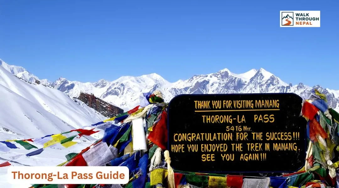
Reaching the pass: Colorful prayer flags snap in the wind, a weathered signboard marks 5,416 meters, and the surrounding peaks glow in the morning light. You take your photos, feel the altitude in every breath, and soak in the achievement before the cold moves you on.
Descending toward Muktinath: The long drop begins across loose scree and switchbacks, the green of Manang replaced by the ochre and grey of Mustang. Hours later you reach the sacred town of Muktinath, tired, sore, and grinning.
Thorong La Pass Altitude Sickness
Altitude sickness is the single biggest danger on Thorong La. Acute Mountain Sickness (AMS) can affect anyone above 3,000 meters, regardless of age or fitness, and ignoring it near the pass can be life-threatening. Symptoms include headache, nausea, dizziness, poor sleep, and loss of appetite.
Fitness does not protect you from altitude sickness. Strong, athletic trekkers often push too hard and get sick precisely because they climb too fast. The proven rule above 3,000 meters is to keep your sleeping-elevation gain to no more than 300 to 500 meters per day, with acclimatization rest days built in, such as the standard rest day in Manang.
How to Reduce Altitude Risk
Acclimatize gradually, follow a sensible itinerary with a rest day at Manang, drink plenty of water, and walk at a slow, steady pace. Listen to your body, never push through severe symptoms, and descend immediately if you develop signs of HAPE or HACE. Descent is the only reliable cure.
Medication is not a substitute for acclimatization or medical advice. You also need insurance that specifically covers high-altitude emergency helicopter evacuation up to 6,000 meters and treatment for AMS, HAPE, and HACE. Standard travel insurance is not enough, and this cover is legally required for restricted-area permits elsewhere in Nepal.
What to Pack for Thorong La Pass
For crossing day specifically, prioritize warmth, wind protection, and sun defense. The pass is far colder and windier than the rest of the circuit, so a few key items make the difference between a hard day and a miserable one.
Item | Why It Matters |
Insulated down jacket | Sub-zero pre-dawn cold and wind chill |
Windproof / waterproof shell | Strong gusts near the top |
Warm gloves + liner gloves | Fingers freeze fast at 5,416 m |
Warm hat + buff | Heat loss and dust protection |
Sunglasses (UV) | Snow glare and intense sun |
Sunscreen SPF 50+ | Extreme UV at altitude |
Headlamp + spare batteries | Pre-dawn start in the dark |
Trekking poles | Long descent to Muktinath |
Sturdy trekking boots | Loose, rocky trail both sides |
Water + purification | Hydration to fight AMS |
High-energy snacks | Fuel for a 7-9 hour day |
For the full trek, see our Annapurna packing checklist and adapt the cold-weather items for the higher pass. Carry a reusable bottle with a UV purifier, Sawyer filter, or chlorine dioxide drops. Please do not buy single-use plastic bottled water on the trail; it harms the fragile mountain environment.
Can Beginners Cross Thorong La Pass?
Yes, beginners can cross Thorong La Pass, but they should not treat it like a casual hike. What matters more than previous trekking experience is preparation, endurance, sensible acclimatization, and a steady pace. Plenty of first-time trekkers cross successfully every season by respecting the altitude.
Focus on building cardio fitness, following a conservative itinerary with the Manang rest day, staying hydrated, and walking slowly and consistently. Understanding how altitude affects you, and being willing to slow down or descend, matters far more than being fast. A licensed guide adds a big margin of safety for first-timers.
How to Prepare for Thorong La Pass
Start training 6 to 8 weeks before your trek. Combine cardio, strength work, and hiking-specific endurance so your legs and lungs are ready for the long crossing day.
Cardio: Run, cycle, or swim to build aerobic capacity for thin air. Strength training: Work legs and core to protect your knees on the long descent. Hiking endurance: Do long uphill walks, stair sessions, and back-to-back hiking days to simulate the circuit's rhythm.
Practice with a loaded backpack, gradually increasing the weight you carry so the pack feels natural. Prepare mentally too: the pass is hard largely because of the combination of cold, altitude, and fatigue hitting at once, and a calm, patient mindset carries you through the false summits.
Thorong La Pass vs Other High Mountain Passes in Nepal
Thorong La is among Nepal's most crossed high passes, but elevation alone does not decide difficulty. Trail conditions, acclimatization profile, remoteness, and trek length all shape how hard a pass feels on the day.
Pass | Elevation | Trek |
Thorong La | 5,416 m | Annapurna Circuit |
Larkya La | ~5,106 m | Manaslu Circuit |
Cho La | ~5,420 m | Everest Three Passes |
Cho La, for example, involves glacier travel that Thorong La does not. Larkya La sits slightly lower but crosses a more remote restricted region. Under Nepal's 2026 rules, Manaslu's Larkya La lies in a restricted area where a single trekker can now get the permit but still must hire a licensed guide, with a guide ratio capped at 1:7. Thorong La, by comparison, is a non-restricted pass with a well-developed teahouse trail.
Is Thorong La Pass Worth It?
For most trekkers, crossing Thorong La is the highlight of the entire Annapurna Circuit. Standing at 5,416 meters among the prayer flags, with the Himalaya spread around you, is a moment that stays with you long after your legs recover.
The pass is also where the landscape transforms. You leave the green, glaciated Manang side and descend into the dry, Tibetan-influenced world of Mustang, ending near the sacred pilgrimage site of Muktinath. That transition, combined with the sense of accomplishment and the raw high-mountain scenery, is exactly why the circuit remains one of Nepal's most loved treks.
Local Practicalities: Cash, Connectivity, and Etiquette
ATMs run out well before the pass, so carry enough Nepalese Rupees (NPR) in cash for the high-altitude section. Budget extra for common trail upcharges: charging phones or power banks, gas-heated hot showers, and Wi-Fi typically cost an extra 200 to 700 NPR per service and are rarely included in your room.
For connectivity, Ncell gives the strongest coverage across the Annapurna Circuit and Sanctuary, so pick up an Ncell SIM in Kathmandu or Pokhara. Signal still fades near the pass, so do not rely on it up high.
On food, stick to fresh local carbohydrates and lean on the classic Dal Bhat, which comes with free refills and gives clean, high-altitude energy. Vegetarian meals are the safest choice on the trail, since meat is carried up by foot or mule over days without refrigeration.
Respect the sacred landscape: always walk clockwise around mani walls, stupas, and chortens, keeping them on your right. Remove shoes and hats before entering any monastery, and never photograph inside prayer halls unless a resident monk clearly gives permission. At the end of your trek, tipping your crew is culturally expected, with a common range of 10% to 15% of the total trek cost shared among guides and porters. For budgeting the whole trip, see our Annapurna Circuit cost and budget guide.
Conclusion
Crossing Thorong La Pass is more than just reaching the highest point of the Annapurna Circuit. It is the reward for days of steady walking, proper acclimatization, and respect for the mountains. While the altitude demands preparation, thousands of trekkers successfully cross the pass each year without any technical climbing experience.
Take your time, listen to your body, and follow a sensible itinerary. With the right preparation, Thorong La can become the highlight of your entire Himalayan journey.
Thinking about trekking the Annapurna Circuit? Walk Through Nepal can help you plan a safe and successful crossing with experienced local guides, permit assistance, and itineraries designed for proper acclimatization. Get in touch with our team and start planning your adventure today.
Frequently Asked Questions
How high is Thorong La Pass?
Thorong La Pass sits at 5,416 meters (17,769 feet), making it the highest point on the Annapurna Circuit Trek and one of the highest trekking passes in Nepal.
How difficult is Thorong La Pass?
Thorong La is challenging mainly because of high altitude, cold, a steep ascent, and a long descent, not technical climbing. Properly acclimatized and prepared trekkers can cross it without mountaineering skills.
Do you need a guide to cross Thorong La Pass?
As of 2026, Nepal strongly enforces licensed guides across major trekking regions including the Annapurna Circuit. Verify current rules before departure, but plan on hiring a licensed guide for safety and legal compliance.
Should I stay at Thorong Phedi or High Camp?
Thorong Phedi (~4,450m) offers a lower sleeping altitude for safer acclimatization but a longer crossing day. High Camp (~4,850m) shortens summit day but increases altitude exposure. Choose based on how you feel.