Where is Mount Everest?
AAsmita KarkiAugust 17, 2026
Local trekking experts, wherever you go
Trips planned around your pace, interests, and time.
Real People, Quick and Helpful Support
Find the best time for the Mardi Himal Trek with a month-by-month guide to weather, mountain views, crowds, trail conditions, and rhododendrons.
Imagine you’ve heard about Mount Everest and desperately want to see the world’s highest peak with your own eyes. You pack a bag and come to Kathmandu in October to see.
And to your surprise, you can’t see.
Because Mount Everest, also known as Sagarmatha, sits roughly 160 kilometers northeast of the capital, tucked behind a wall of closer peaks in Nepal's Solukhumbu district, and you have to earn the view.
That gap between expectation and reality is exactly what trips people up, and it's the question we hear most before anyone asks about permits or packing lists: where exactly is this mountain, and which country does it actually belong to?
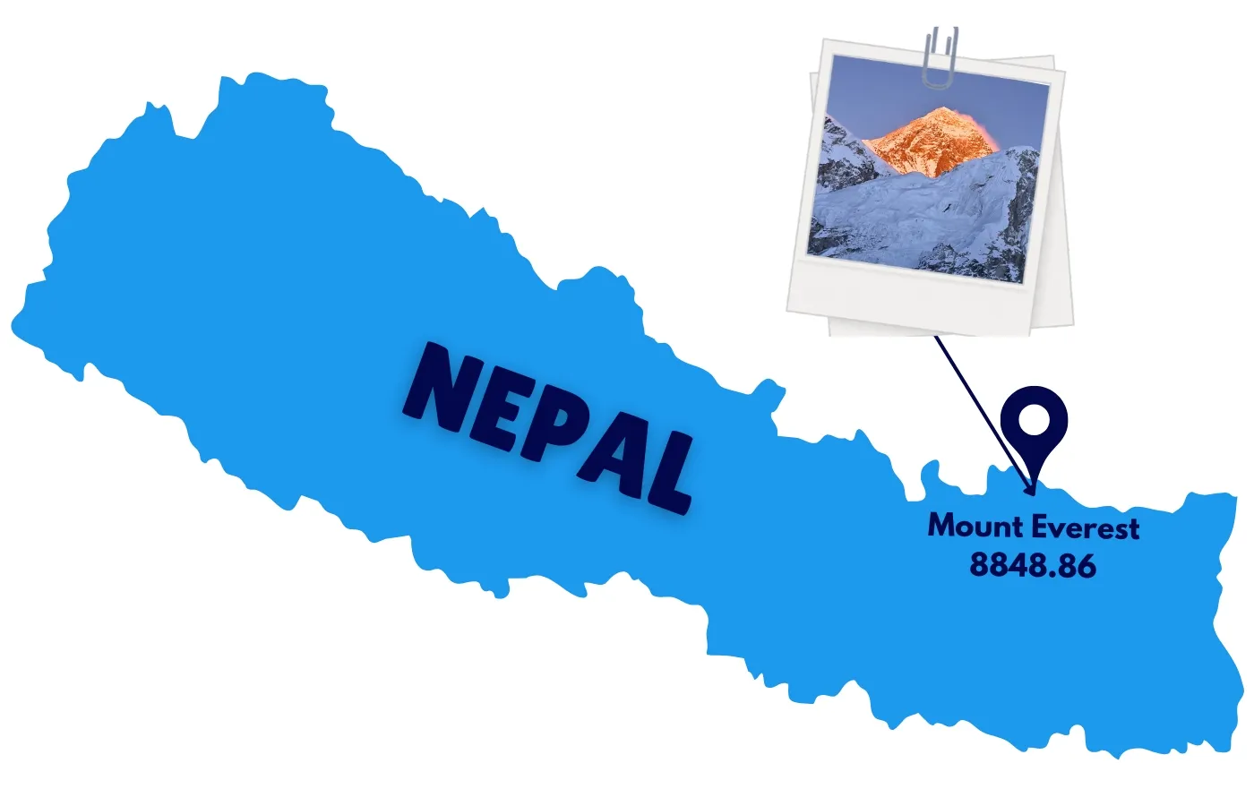
Mount Everest sits on the border between Nepal and the Tibet Autonomous Region of China, in the Mahalangur Himal sub-range of the Himalayas. Its coordinates are 27.9881° N, 86.9250° E. The summit lies within Nepal's Solukhumbu district, inside Sagarmatha National Park, a UNESCO World Heritage Site.
Detail | Information |
|---|---|
Country | Nepal (south face) / China–Tibet (north face) |
Province | Koshi Province |
District | Solukhumbu |
Local Government | Khumbu Pasang Lhamu Rural Municipality |
Protected Area | Sagarmatha National Park (UNESCO World Heritage Site) |
Coordinates | 27.9881° N, 86.9250° E |
Mountain Range | Mahalangur Himal, Himalayas |
Neighboring Peaks | Lhotse, Nuptse, Makalu |
Read More:
Mount Everest sits on an international border, with its summit ridge marking the line between Nepal and China. The mountain is known locally as Sagarmatha ("Forehead of the Sky") in Nepal and Chomolungma ("Goddess Mother of the World") in Tibet.
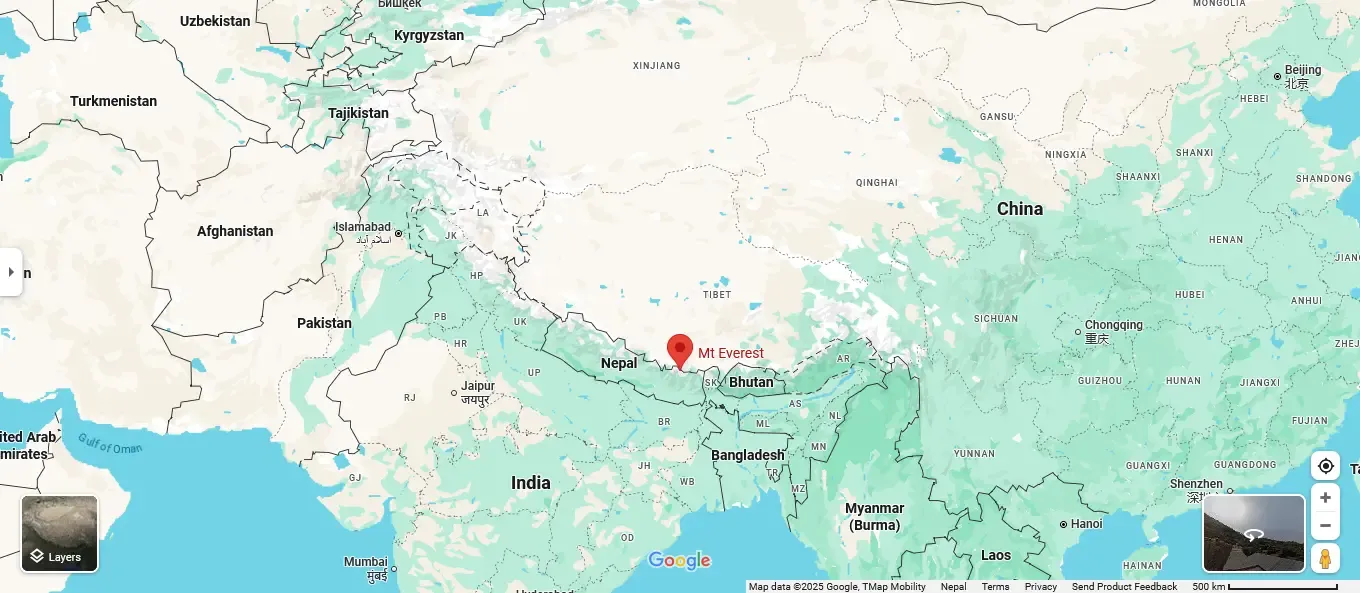
The two names reflect two different relationships with the same mountain. On the Nepal side, Everest sits inside Sagarmatha National Park, and the surrounding Khumbu valley is home to the Sherpa communities who have guided climbers and trekkers here for generations. On the Tibet side, the mountain rises above the Rongbuk valley near Tingri County, reached by road rather than on foot.
If you're asking which country to visit for an Everest trip, the practical answer is Nepal. Nearly every major route, from the classic Everest Base Camp trek to the technical South Col climbing route, starts on the Nepalese side. Tibet's north side sees far fewer visitors because of tighter travel restrictions and a shorter climbing season.
Mount Everest stands at 8,848.86 meters (29,031.7 feet) above sea level, confirmed by a joint Nepal-China survey completed in 2020. That height makes it the highest point on Earth measured from sea level, though not the tallest mountain base-to-peak (that title belongs to Mauna Kea) or the farthest point from Earth's center (Ecuador's Chimborazo, due to the planet's equatorial bulge).
Above 8,000 meters, climbers enter what's known as the "Death Zone," where the air holds roughly a third of the oxygen available at sea level. Supplemental oxygen is standard practice for nearly all commercial expeditions above this altitude.
This altitude factor also make difference on predicting the weather condition of this region.
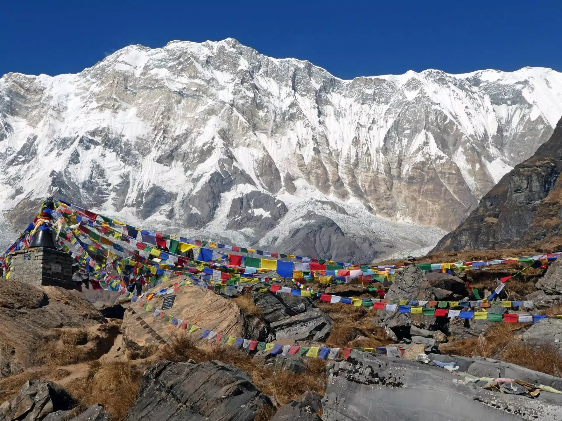
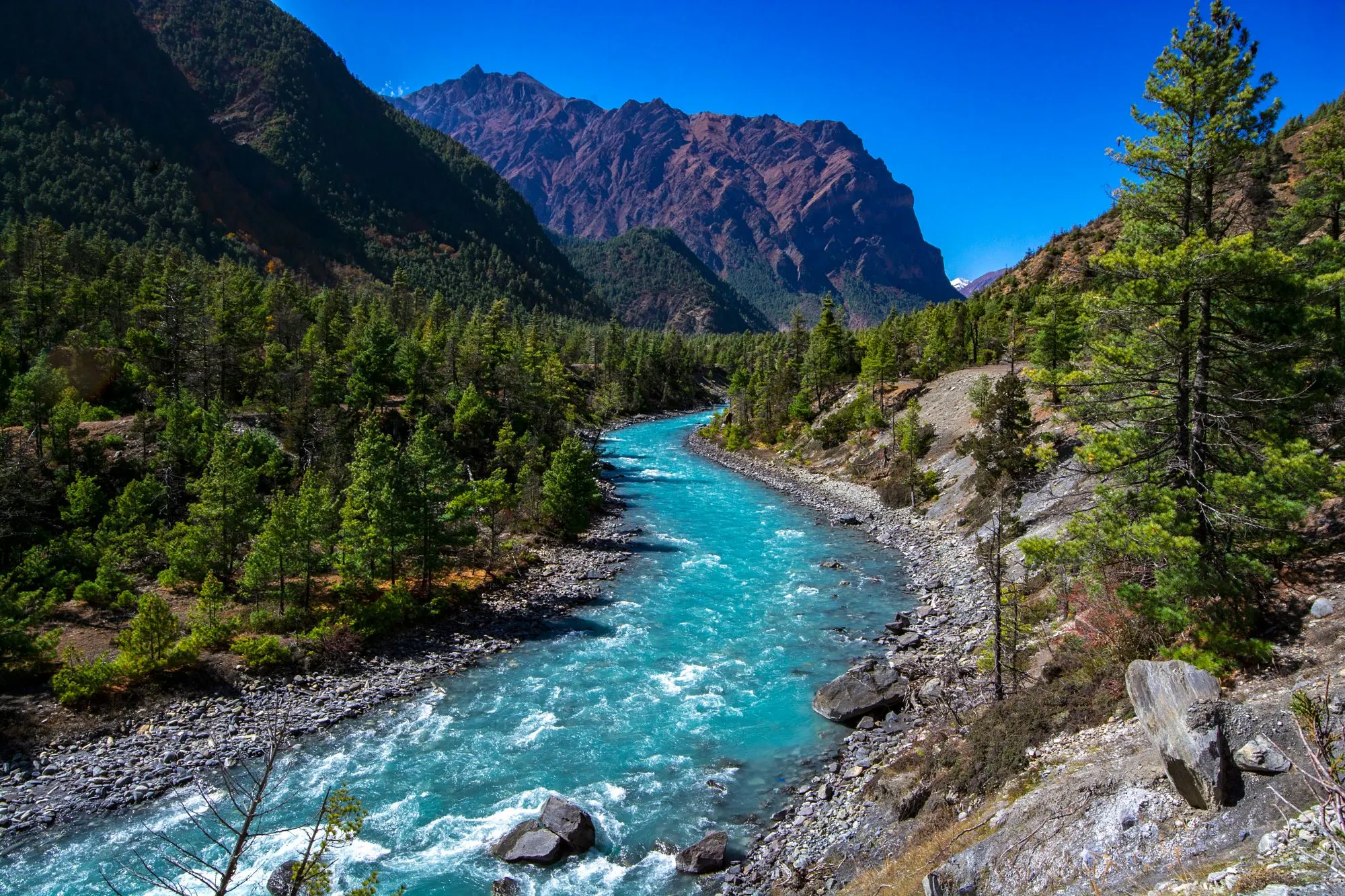
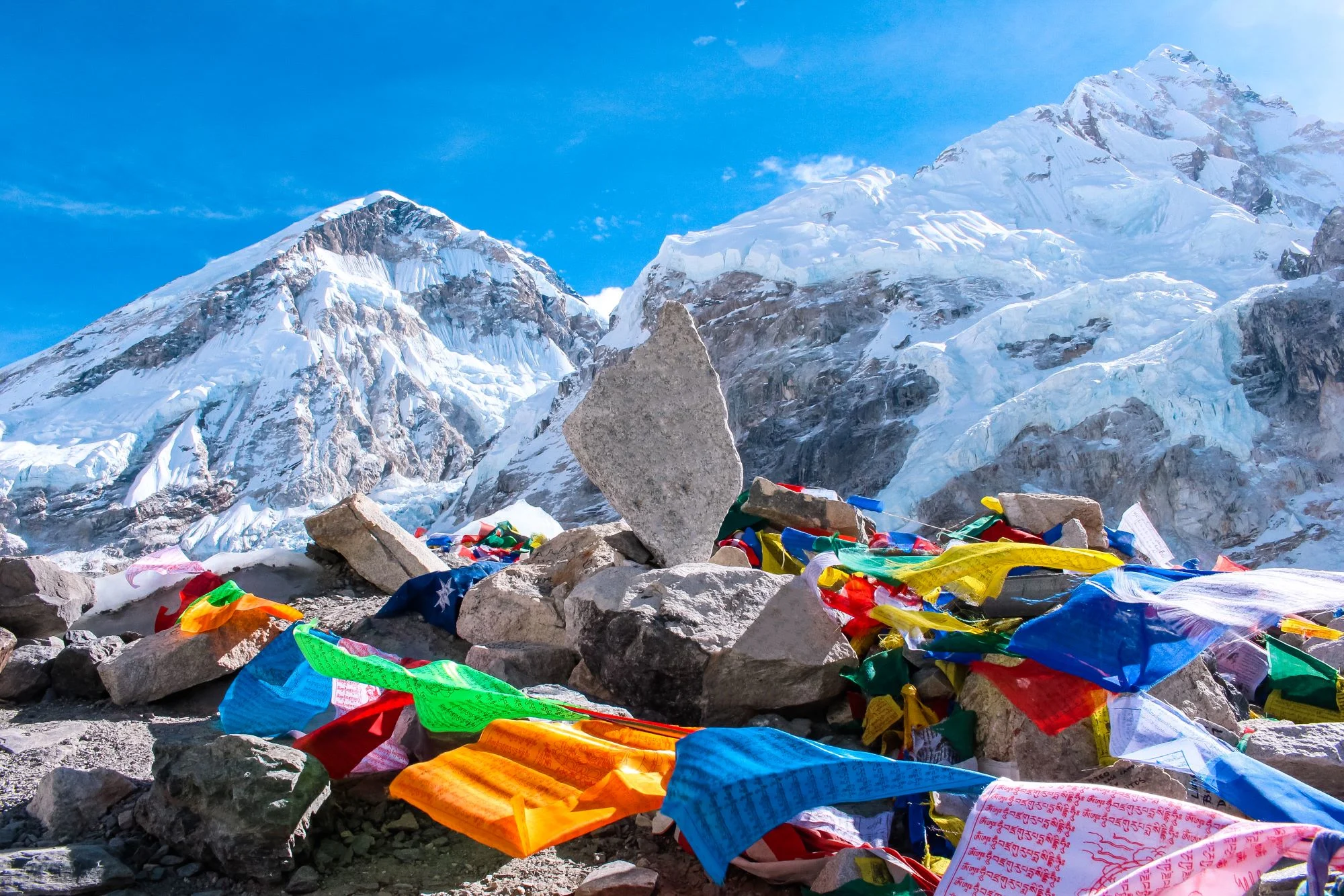
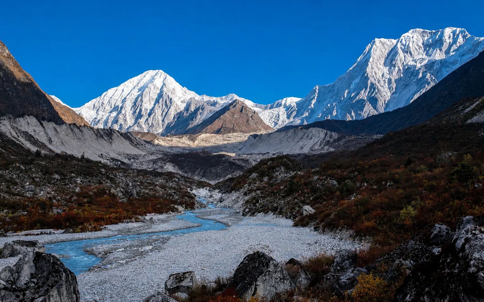
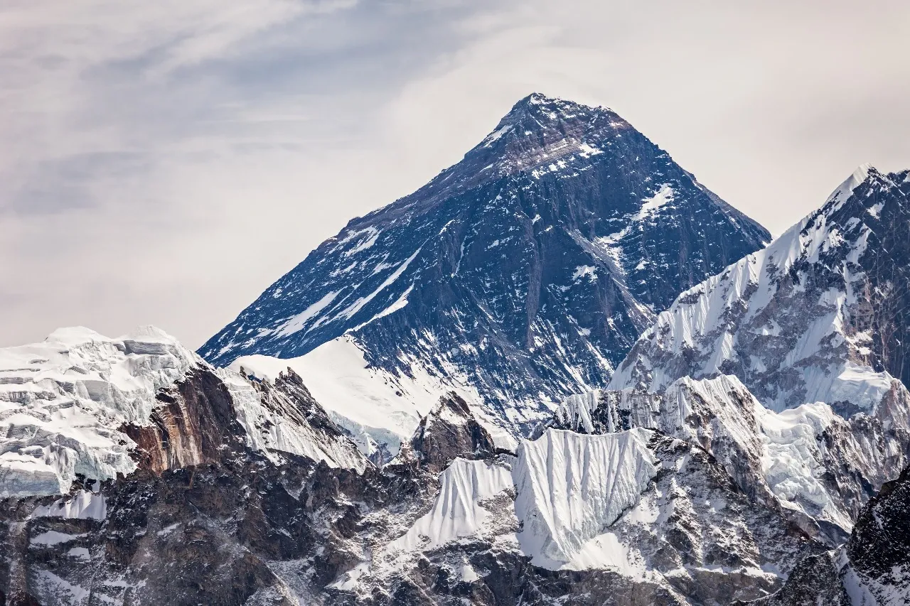
It’s a fact that Everest belongs to the Mahalangur Himal, an eastern sub-range of the Himalayas that also holds three other 8,000-meter giants: Lhotse (8,516 m), Makalu (8,485 m), and the slightly lower but visually dramatic Nuptse (7,861 m). The Himalayas themselves stretch across five countries: Nepal, China, India, Bhutan, and Pakistan, formed by the ongoing collision of the Indian and Eurasian tectonic plates.
This tectonic activity isn't ancient history. Everest and its neighbors are still rising by a few millimeters each year, and the range remains seismically active, a fact felt directly by Khumbu communities during Nepal's major 2015 earthquake.
Everest's Two Base Camps: South Col and North Col
Climbers reach Everest's summit by one of two established routes, each with its own base camp and sequence of higher camps.
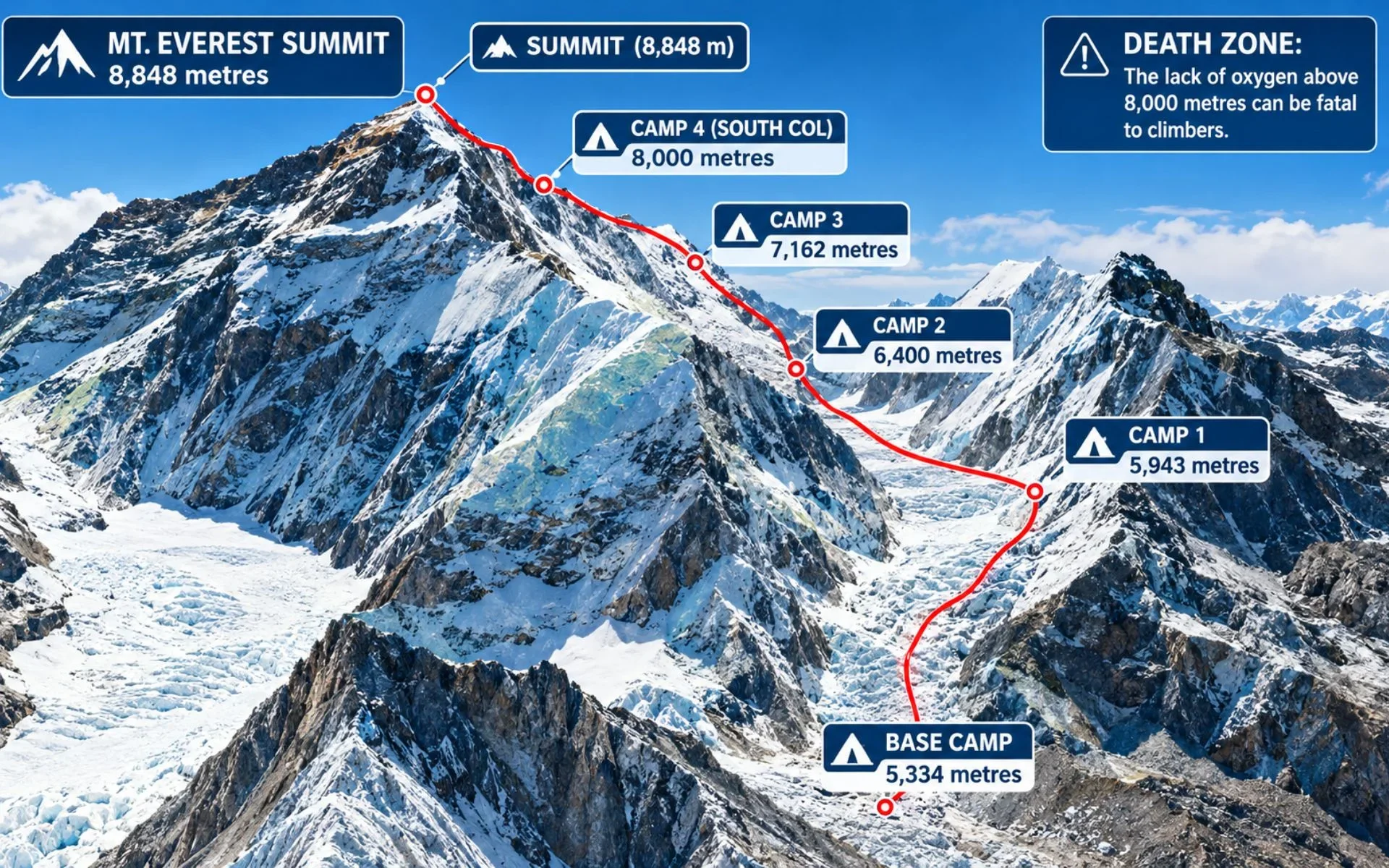
Everest Base Camp on the Nepal side sits at 5,364 meters (17,598 feet) in the Khumbu Valley and marks the start of the classic South Col climbing route. From here, climbers move through the notoriously unstable Khumbu Icefall to Camp I at 6,065 meters, then Camp II at 6,400 meters in the Western Cwm. Camp III sits on the exposed Lhotse Face at 7,200 meters, and Camp IV, known as the South Col, sits at 7,920 meters as the final staging point before a summit push.
This was the route used for the first confirmed ascent in 1953, by Edmund Hillary and Tenzing Norgay Sherpa, and it remains the more heavily used, better-supported side of the mountain.
On the Tibet side, North Base Camp sits at 5,150 meters near the Rongbuk Glacier, reachable by road rather than a multi-day trek. From there, climbers move through an Intermediate Camp at roughly 5,800 meters and an Advanced Base Camp at 6,492 meters before reaching the North Col at 7,010 meters. Higher camps continue along the Northeast Ridge past 7,500 meters, culminating in the technical Second Step, a nearly vertical 40-meter rock wall fitted with a fixed ladder.
Feature | South Face (Nepal) | North Face (Tibet) |
|---|---|---|
Route Name | South Col Route | Northeast Ridge Route |
Base Camp Altitude | 5,364 m (17,598 ft) | 5,150 m (16,900 ft) |
Access Point | Fly to Lukla, trek through Khumbu Valley | Drive to North Base Camp via Rongbuk |
Infrastructure | Extensive teahouse and guide support | Remote, limited logistics |
First Ascent | 1953, Hillary and Tenzing Norgay | First summited from this side in 1960 |
Signature Obstacle | Khumbu Icefall | The Second Step |
Road Access | None past Lukla; trekking required | Direct road to base camp |
Solukhumbu is the district that gives Everest its everyday context. This is where the mountain stops being a set of coordinates and becomes a lived-in place, with Sherpa villages, monasteries, and teahouses built around centuries of high-altitude life.
The Sherpa communities of the Khumbu valley, part of Solukhumbu, have shaped nearly every aspect of how the world experiences Everest, from guiding and portering to running the lodges that make long treks possible. Their presence is one reason the Nepal side of the mountain feels distinctly different from the quieter, more austere Tibetan approach.
Most travelers reach Everest by flying from Kathmandu to Lukla, then trekking roughly 8 to 9 days through the Khumbu Valley to Everest Base Camp or a viewpoint like Kala Patthar. While traveller with a tight schedule see their dream with a Helicopter tour. It depends on personal preference to trek or see from a helicopter.
During peak trekking seasons, March to May and September to November, flights to Lukla frequently depart from Manthali Airport in Ramechhap instead of Kathmandu. This means a 4 to 5 hour night drive from Kathmandu, often leaving around 1:00 AM, to catch a morning flight. We recommend building in 1 to 2 buffer days on either end of your trip, since mountain weather regularly delays or cancels flights in both directions.
The Khumbu region does not use the standard national e-TIMS card that applies elsewhere in Nepal. Instead, entering the Everest area requires two local permits: the Khumbu Pasang Lhamu Rural Municipality entry fee (NPR 3,000) and the Sagarmatha National Park Permit (NPR 3,000). Both are checked at entry points along the trail and should be arranged in Kathmandu or at the park checkpoint in Monjo. We handle both permits for travelers booking through Walkthrough Nepal, so this step is usually one less thing to plan around.
You don't need to be a climber to see Everest up close. Kala Patthar (5,644 m), near Base Camp, offers the classic close-up panorama and is the goal for most trekkers who aren't summiting. The Everest View Hotel in Syangboche, one of the highest-altitude hotels in the world, offers mountain views over tea for those on a shorter itinerary. Scenic mountain flights and helicopter tours from Kathmandu are also available for travelers with limited time, typically covering the round trip in 3 to 4 hours.
Mount Everest sits on the border between Nepal's Solukhumbu district and the Tibet Autonomous Region of China, within the Mahalangur Himal sub-range of the Himalayas, at coordinates 27.9881° N, 86.9250° E.
Both. The mountain's south face lies in Nepal and its north face lies in Tibet (China). Most trekking and climbing activity happens on the Nepal side.
No. Everest is not in India. The nearest Indian state, Sikkim, lies further east and does not border the mountain directly.
No, not with the naked eye. Kathmandu sits roughly 160 kilometers away, and closer peaks block a direct line of sight.
Lukla is the closest town with an airport and serves as the starting point for nearly all Everest region treks.
Mount Everest measures 8,848.86 meters (29,031.7 feet), based on the 2020 joint Nepal-China survey.
Trekkers to the Khumbu region need the Sagarmatha National Park Permit (NPR 3,000) and the Khumbu Pasang Lhamu Rural Municipality fee (NPR 3,000), along with a valid Nepal tourist visa.
Nepal's current regulations strongly encourage or require licensed guides across major trekking regions, including the Khumbu. We recommend confirming current rules with a licensed operator before departure, since requirements are updated periodically.
Local Wi-Fi services such as Everest Link are available in most Khumbu villages but usually cost an extra NPR 200 to 700 per use and are rarely included in the room rate.
Base Camp temperatures swing widely, from above freezing in direct sun to well below freezing overnight, even in the main spring and autumn trekking seasons.
K2, at 8,611 meters (28,251 feet), located on the Pakistan-China border in the Karakoram Range.
Yes. The first confirmed ascent from the Tibet side took place in 1960, and the north route remains a quieter, more technical alternative to the south.
The South Face route in Nepal is trekking-based, better supported, and busier. The North Face route in Tibet is reached by road, sees far fewer climbers, and includes the technical Second Step obstacle.
Surveyor Radhanath Sikdar calculated Everest's height using trigonometry in 1852, though local communities had long recognized the mountain's significance before that measurement.
No. ATMs are not reliably available past Namche Bazaar, so trekkers should carry sufficient Nepalese Rupees in cash for the rest of the trip.