Contents
The question we get most from trekkers planning Upper Mustang isn't "is it beautiful" (it is), it's "how far am I actually walking each day, and how high does it go." Fair question. This is a high desert plateau where the trail runs along old salt caravan tracks, not manicured switchbacks, and knowing your daily distance matters more here than on almost any other route in Nepal.
This guide breaks the Upper Mustang trek down stage by stage: exact kilometers, sleeping elevations, and walking hours for each day.
Upper Mustang Trek Distance at a Glance
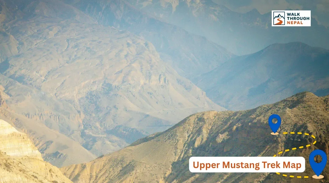
The Upper Mustang trek covers roughly 170 to 180 kilometers round trip from Jomsom to Lo Manthang and back, completed over 10 to 12 walking days with daily stages of 10 to 19 kilometers. Most itineraries run 12 to 14 days total once you add the Pokhara-Jomsom flights on either end.
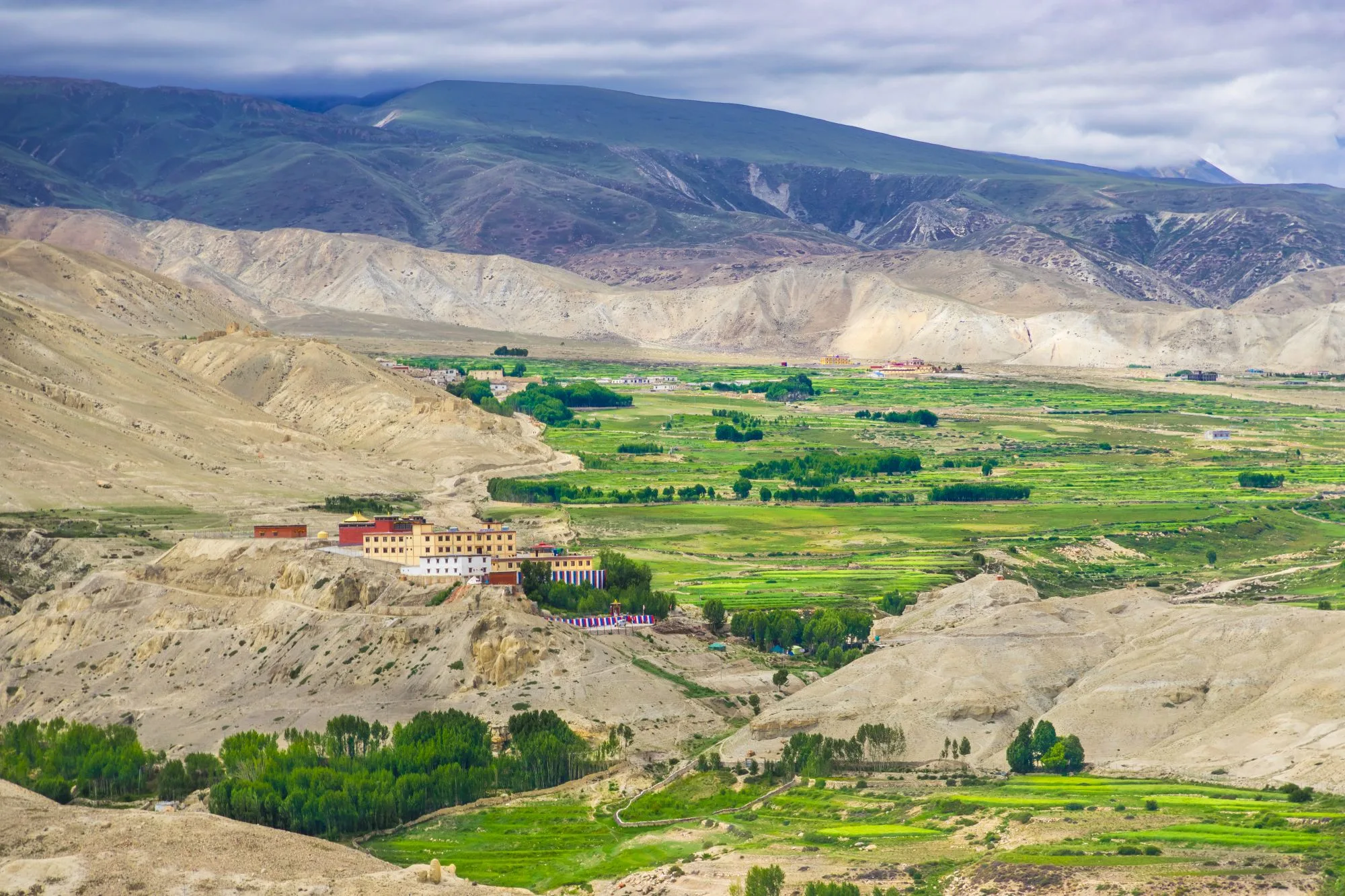
Daily walking time ranges from 3 to 7 hours, shorter on the first and last stages, longer through the middle stretch between Chele and Lo Manthang. The highest sleeping point is Lo Manthang at 3,840 meters, and the highest pass on the classic route, Nyi La, sits at roughly 4,010 meters.
Full Day-by-Day Distance and Elevation Table
Here's the complete stage breakdown we give our own trekking groups, showing exactly how the kilometers and elevation stack up across the route.
Day | Route | Distance | Sleep Elevation | Duration |
|---|---|---|---|---|
1 | Fly Pokhara–Jomsom, trek to Kagbeni | ~10 km | 2,800 m | 3-4 hrs |
2 | Kagbeni to Chele | ~13 km | 3,050 m | 5-6 hrs |
3 | Chele to Syangboche | ~15 km | 3,800 m | 6-7 hrs |
4 | Syangboche to Ghami (via Nyi La) | ~14 km | 3,520 m | 5-6 hrs |
5 | Ghami to Tsarang | ~15 km | 3,560 m | 5-6 hrs |
6 | Tsarang to Lo Manthang | ~14 km | 3,840 m | 5-6 hrs |
7 | Lo Manthang exploration / Choser caves | ~10 km | 3,840 m | 4-5 hrs |
8 | Lo Manthang to Drakmar (eastern route) | ~17 km | 3,820 m | 6-7 hrs |
9 | Drakmar to Ghiling | ~14 km | 3,570 m | 5-6 hrs |
10 | Ghiling to Chhuksang | ~18 km | 3,050 m | 6-7 hrs |
11 | Chhuksang to Jomsom (via Kagbeni) | ~19 km | 2,720 m | 6-7 hrs |
12 | Fly Jomsom to Pokhara | — | 820 m | 25 min flight |
Jomsom to Kagbeni: The Short Warm-Up Stage
This first stage covers just 10 kilometers and takes 3 to 4 hours, deliberately short so you land in Jomsom, settle in, and walk into the trek rather than rushing it.
Kagbeni to Chele: Entering the Restricted Zone
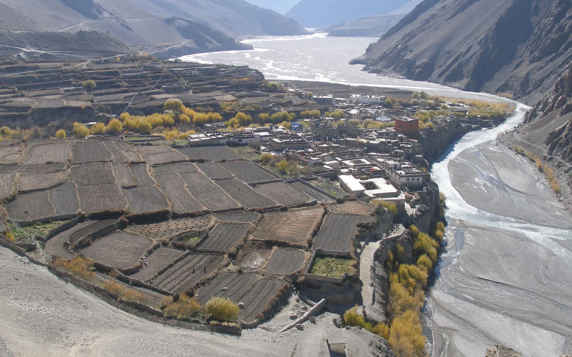
The trail climbs to 3,050 meters over 13 kilometers, roughly 5 to 6 hours of walking through the first stretch of true Upper Mustang desert terrain. This is where the green Kali Gandaki valley finally gives way to ochre cliffs and canyon walls.
Chele to Syangboche: The Toughest Climbing Day
At 15 kilometers and a jump to 3,800 meters sleeping elevation, this is the steepest single-day gain on the entire route, taking 6 to 7 hours. We never push a group to sleep more than 300 to 500 meters higher than the previous night once above 3,000 meters, and this stage sits right at that ceiling, so pace matters more here than anywhere else on the trail.
Syangboche to Lo Manthang via Ghami and Tsarang
The next three stages cover the heart of the route: Syangboche to Ghami (14 km, crossing Nyi La at roughly 4,010 meters), Ghami to Tsarang (15 km), and Tsarang to Lo Manthang (14 km). Each runs 5 to 6 hours. Ghami and Dhakmar along this stretch hold some of Nepal's longest mani walls, some over 300 meters long, worth the extra ten minutes to walk properly (clockwise, keeping them on your right).
Lo Manthang and the Choser Caves
Day 7 is your reward and your rest day rolled into one: a short 10 kilometer, 4 to 5 hour loop through the walled city and out to the Choser sky caves. Lo Manthang holds the Jampa, Thubchen, and Chodey monasteries, all with centuries-old murals worth slowing down for.
The Eastern Return Route: Drakmar to Jomsom
The classic itinerary can retrace its steps, but most groups take the longer eastern loop back through Drakmar (17 km), Ghiling (14 km), Chhuksang (18 km), and finally back to Jomsom via Kagbeni (19 km). These final stages are the longest single days of the trek, so build in the energy reserves for them rather than treating the return as a formality.
What the Trail Terrain Feels Like, Stage by Stage
The kilometers on paper don't tell you what the ground underfoot actually does, and that changes more here than on most Nepal routes. Below Kagbeni, the trail still follows the wide gravel bed of the Kali Gandaki, easy underfoot but exposed to whatever wind is coming down the valley. Past Chele, the path narrows into carved ledges along canyon walls, with sections of loose scree that slow your pace regardless of fitness.
Through Syangboche and Nyi La, you're on genuine high-desert plateau: hard-packed earth, almost no vegetation, and long sightlines that make distant villages look closer than they are, a trick of the thin, dry air. The stretch from Ghami through Dhakmar runs past deep red rock formations and the long mani walls, where the trail flattens out enough to actually look up instead of watching your footing. The eastern return leg through Ghiling and Chhuksang mixes all of it: gravel riverbeds, short climbs, and a final stretch back into the greener, more sheltered terrain around Kagbeni that signals you're closing the loop.
Outbound vs Return: Comparing the Two Halves of the Route
Trekkers often assume the walk out and the walk back split the distance evenly. They don't. The outbound leg from Jomsom to Lo Manthang, days 1 through 6, covers roughly 81 kilometers over six stages, averaging a manageable 13.5 kilometers a day. The return via the eastern loop, days 8 through 11, covers about 68 kilometers in just four stages, which pushes the daily average up past 17 kilometers.
That's the part people miss when they picture the trek as symmetrical: the second half is shorter in days but longer in kilometers per day. Coming out of Lo Manthang's rest day, you're moving into the hardest stretch of walking on the whole itinerary, not the easiest, so pace yourself accordingly rather than assuming the way back is the downhill coast it sounds like on paper.
How This Distance Compares to Other Nepal Treks
At 170 to 180 kilometers, Upper Mustang covers noticeably less total ground than the Annapurna Circuit, but with several individual days pushing past 17 kilometers, the daily distances run longer than routes like Ghorepani Poon Hill. It's also a different kind of challenge than passes like Thorong La: Upper Mustang never crosses 5,000 meters, so the strain comes from distance and wind rather than thin air. For a side-by-side on a shorter, gentler route, our Annapurna Base Camp route map breaks down a comparable stage-by-stage structure at lower elevation.
What Changes Your Daily Distance
A few factors shift how far you'll actually walk on a given day. A rough jeep road now reaches all the way to Lo Manthang, and wherever it parallels the trail, our guides route groups onto the older foot paths and riverbank trails instead, which sometimes adds distance but keeps you off dust and traffic. Weather plays a role too: Upper Mustang's afternoon winds are strong enough to slow a stage down regardless of season, and our weather guide for Upper Mustang covers what to expect month by month. If you're timing the trip around the dry monsoon window here, see why some Nepal treks are safe during monsoon, and for picking the exact month, our best time for the Upper Mustang trek guide lays out the trade-offs between spring, autumn, and the Tiji Festival window.
Should You Split Any of the Longer Stages?
For most trekkers, no, the standard 12 to 14 day itinerary is built around teahouse locations that already exist, and there's rarely a lodge conveniently placed halfway through a long stage. But for slower groups, older trekkers, or anyone recovering from a minor injury, the 17 to 19 kilometer days late in the route (Lo Manthang to Drakmar, Ghiling to Chhuksang, and the final push to Jomsom) are the ones worth breaking up.
Splitting one of these into two shorter days usually means adding a night in a smaller village along the way rather than a purpose-built stop, so it's worth discussing with your guide before departure rather than deciding mid-trek. Adding even one extra day here changes your total trip length and flight buffer, so factor it into your Pokhara-Jomsom flight dates from the start.
Managing the Distance: Tips From Our Guides
Keep your pace to the day's stage rather than trying to bank kilometers early, since the wind picks up by early afternoon on most days and walking into it slows you down fast. Above 3,000 meters, treat the 300 to 500 meter per-night elevation rule as fixed, not a suggestion, and our altitude guide covers what to watch for if a stage pushes that limit. Pack for wind before cold, since layering and a windproof shell matter more here than heavy down; our Upper Mustang packing list has the full checklist.
Building Buffer Days Around the Distance
The trekking distance itself is predictable, but the Pokhara-Jomsom flight on either end is not, and afternoon winds regularly ground flights with little notice. Build at least 1 to 2 buffer days into your total trip length, ideally at the start rather than the end, so a delayed flight into Jomsom doesn't compress your walking stages later on. For more detail on the flight and jeep options that bookend this route, see our guide on getting to Upper Mustang.
A trip booked with zero slack means any single delay forces you to either skip a stage entirely or rush a 17 to 19 kilometer day that's already long enough at a normal pace. Guides plan around this by default; independent groups planning their own dates often don't, and it's the single most common reason a well-planned itinerary falls apart in the first two days.
Frequently Asked Questions
How many kilometers is the Upper Mustang trek in total?
The round trip from Jomsom to Lo Manthang and back covers roughly 170 to 180 kilometers across 10 to 12 walking days.
What is the longest single day on the route?
Chhuksang to Jomsom on the return leg is the longest stage at roughly 19 kilometers, taking 6 to 7 hours.
What is the steepest climbing day?
Chele to Syangboche gains the most elevation in a single day, climbing to 3,800 meters over 15 kilometers in 6 to 7 hours.
How many days should I budget in total?
Plan for 12 to 14 days including the Pokhara-Jomsom flights and at least one buffer day for flight delays.
Do I walk the same route back, or is there a different return path?
Many groups take the longer eastern loop back through Drakmar, Ghiling, and Chhuksang instead of retracing the exact outbound route, adding variety without major extra distance.
How far do I walk on the rest day in Lo Manthang?
The Lo Manthang and Choser caves loop covers about 10 kilometers over 4 to 5 hours, making it closer to an active rest day than a true day off.
Is the trail mostly flat or constantly climbing?
It's rolling rather than flat, with repeated ascents and descents between villages; only the Chele to Syangboche stage and the Nyi La crossing involve sustained steep climbing.
Can I shorten the total distance by skipping the eastern loop?
Yes, retracing the outbound route back to Jomsom shortens the trip by a day or two, though you'll miss Drakmar's red cliffs and the longer mani walls near Ghami.
Does the jeep road reduce how far I need to walk?
Technically yes, but our guides route groups onto foot trails wherever the road parallels the path, so the walking distance stays close to the figures above.
What's the highest point along the whole distance?
Nyi La pass at roughly 4,010 meters, crossed between Syangboche and Ghami, is the highest point on the classic route.
How does this distance compare to Everest Base Camp?
Upper Mustang covers less total distance than EBC but concentrates more kilometers into fewer, longer daily stages, since there's no forced acclimatization day built into the standard itinerary.
Do I need to be an experienced trekker to handle these distances?
No prior high-altitude experience is required, but you should be comfortable walking 5 to 7 hours on consecutive days with a daypack over uneven desert terrain.
Ready to Walk This Route?
Our licensed Mustang guides run this exact stage-by-stage itinerary and adjust the pace to your group's fitness and the season's wind patterns. Browse our Upper Mustang trek itinerary or, for a faster look at the same route by air, our Upper Mustang helicopter tour, and reach out through our inquiry page to start planning.